Everything you need to know
Buy a Property Report
The Landcycle Property Report is a detailed look at a Property and it's surrounding area and environment. Reports cost £25.00 including VAT. If you are VAT-registered you will receive a VAT invoice for this amount.
You can buy a report as a guest by simply adding your postcode below and following the prompts. However, to re-download your report at any time in the future we recommend you Sign up, and you'll get access to our range of property information data or login if you already have a Landcycle account.
Your report will be sent to your email. By clicking this button, you confirm your acceptance of this process. You can opt out of marketing emails at any time by clicking the unsubscribe link in the email footer.
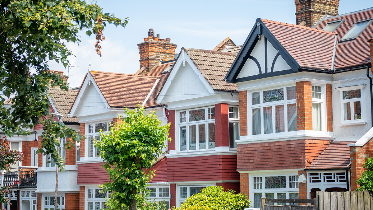
What is the Property Report?
Landcycle has produced a comprehensive property report that gives insights into valuation, planning and environmental factors along with other useful information such as local schools and facilities. This is not a replacement for a legal report but this report will certainly help you divine more information about a property whether you are buying it or selling it. The report will give you an early insight into facts about the area, including crime data, radon gas and air quality. It will also flag potential boundary dispute issues and let you know if there are any neighbouring or local planning applications that you should be aware of, not to mention our unique valuation algorithm.
Key insights include
- ▸ Property valuation
- ▸ Local school information
- ▸ Road and rail links
- ▸ Crime and air quality
What's in the Report?
Title Overview
We use some of the data from Land Registry to create a title plan (showing the boundaries of a property) and include some key data point information. Of particular note is an early indication of neighbouring overlapping titles.
Facts about the Area
The report identifies local amenities, schools including their independent ranking, shops and restaurants which gives you an indication of how ‘sustainable’ the property location is along with local and national crime references.
Planning Constraints
This section shows if the property is located in greenbelt, floodplain or near or within a conservation area or an outstanding area of natural beauty. This information is important when considering home ownership and it can affect what can be achieved if a planning application was being submitted.
Environmental Considerations
Climate change is a growing consideration. So knowing if your property is liable to costal erosion, flooding, poor air quality or radon gas is an important knowledge point.
Roads and Rail and Noise Pollution
Distances to roads and location of stations is not necessarily important to everyone but a future buyer may use this information as a selection criterion. Can I walk to a station or do I have to drive far to connect with a major trunk road is an important insight into how sustainability the property performs. Road noise is also an important consideration when assessing a property.
Water Safeguard and Land Use
Water safeguard zones are designated areas in the UK where actions are taking to protect drinking water from pollution. Combined with Land Use classification, these are important elements around environmental impact assessments and compliance with land use regulations.
Power Generation and the Network
This data set shows the property’s relative position to overground and underground cables and towers and pylons. This is important data if you are concerned about your property being close to overhead electricity lines or if you need to connect to the national grid with proximity to power and substation locations.
Energy Performance EPC
Depending on if the property has had an Energy Performace Certificate EPC survey this can provide a list of the current state and recommendations to save energy and costs.
 Consent Preferences