All the information you need
Maps and Layers
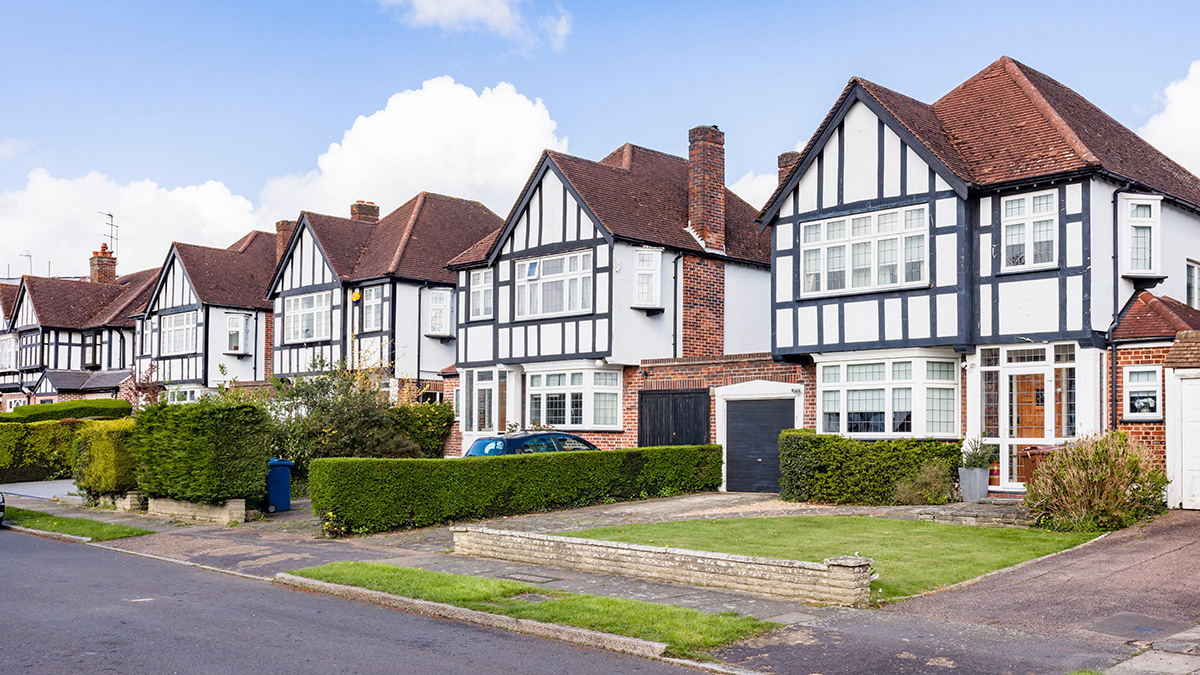
Landcycle is at its very heart a site finding software platform as is designed to help you locate the ideal site for your needs. Whether you are looking for residential, commercial, or industrial properties, our comprehensive databases and advanced search features make it easy to find the perfect location for your development.
Get different Map views
Landcycle provides Google, Ordnance Survey, and OpenStreetMap based maps. Each map provider brings its own strengths. Google Maps offers detailed Street View for ground-level exploration, while OpenStreetMap provides a more flexible, open-data approach. Ordnance Survey maps offer highly detailed and authoritative mapping, ideal for understanding land boundaries, rights of way, and topographical features. Satellite views help visualise the landscape, and specialist layers (like terrain or cycling routes) can add extra insight depending on your needs. You are free to choose your preferred base map.
The following Map types and Features
- Google Maps: Access detailed and up-to-date maps from Google, including street views and satellite imagery.
- Ordnance Survey Maps: Utilize Ordnance Survey maps for accurate and detailed geographic information in the UK.
- Open Street Map: Benefit from the open-source Open Street Map for a wide range of mapping data and community-driven updates.
Land Registry Layer
The Land Registry Layer provides comprehensive information on property ownership, title class, estate interests, and other critical details for informed property development planning.
The Land Registry Layer contains the following information
- Post Office Address Details: Access detailed address information from the Post Office for accurate location identification.
- Ownership Details: View comprehensive ownership information, including the type of ownership and associated details.
- Ownership Categories: Identify ownership categories such as Government, Housing Association, Company, Corporate Body, and Private Ownership.
- Title Class: Determine whether the title is Freehold or Leasehold, including sub-optimal types.
- Estate Interest: Understand various estate interests such as Estate in land, Affecting franchise, Relating franchise, Manor, Profit a prendre in gross, and Rentcharge (perpetual and terminable).
- Parcel Size Filter: Filter properties based on parcel size to find the most suitable plots for development.
- Value Estimate Filter: Use value estimate filters to analyze properties based on their estimated market value.
Constraint Layers
Constraint layers highlight factors that could influence development potential or land use. Think flood risk, green belt boundaries, protected woodland, or access restrictions. If there's a specific data layer you're interested in just let us know.
We offer the following Constraint Layers as standard on the maps
- Ecology: Access detailed information on ecological features and protected areas.
- Schools: Find data on nearby schools and educational institutions.
- Health and Care: Locate health and care facilities in the area.
- Travel Infrastructure: Get insights into travel infrastructure including roads and public transport.
- Infrastructure: Understand the existing infrastructure in the area.
- Planning Constraint: Identify planning constraints that may affect development.
- Listing & Historical: Discover listed buildings and historical sites.
- Political: Review political boundaries and jurisdictions.
- £/SqFt Values: Analyze property values per square foot.
- Power Gas & Drainage: Check availability of power, gas, and drainage services.
- Agricultural: Explore agricultural land and usage.
Get started in 30 seconds
Landcycle is free to access. No card details required to register
 Consent Preferences